


This QGIS V3.x Processing algorithm is used to save the style information, in qml files, of many layers at once.
Distributed under the GPL licence
This algorithm will NOT work on QGIS ≤ 2.99.
For QGIS ≥3.x
Contents
This algorithm displays lists of raster and vector layers in the current project. You can then select the layers you want and save their style in .qml files.
This algorithm is part of the Processing geoprocAlgos plugin. Once installed the geoprocAlgos plugin can be found in the 'Processing toolbox'.
Please report any bug/problem/wish on GitHub or, not recommended, to the QGIS User mailing list [mailto: qgis - user at lists dot osgeo dot org].
See here for installation instruction.
Note that in order to work correctly, this algorithm must have write rights to the directory each layer file resides in because the .qml files are created as a sidecar of each layer file.
Once successfully installed the algorithm is found in the Processing toolbox under GeoProc -> layers -> Save .qml:

Double-click "Save .qml" to launch the configuration window.
Three fields are presented:

To select layers click the "..." button and the layer selection dialog opens:

Select as many or as few layers from this dialog, and click "OK" to validate your selection. Back on the main dialog window, do the same for the selection of the other type of layers or click "Run" to save a style file (.qml) for each selected layer.
On completion, a report file (html) is created. If all is ok a screen similar to the one below is shown:
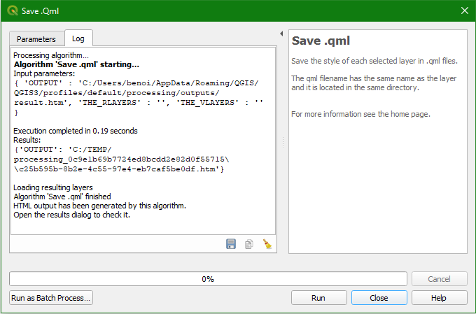
and the report is available in Processing results pane:
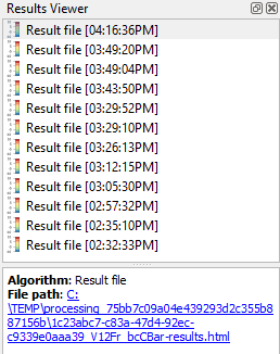
Click on the "File path" link to open the report. This report tells you if the processing has been successful or not and the number of .qml files saved for raster and vector layers.
Published date: 23 May 2019.